Seminar Recap: Exploring the “Living Earth” Approach for Land Degradation Assessment
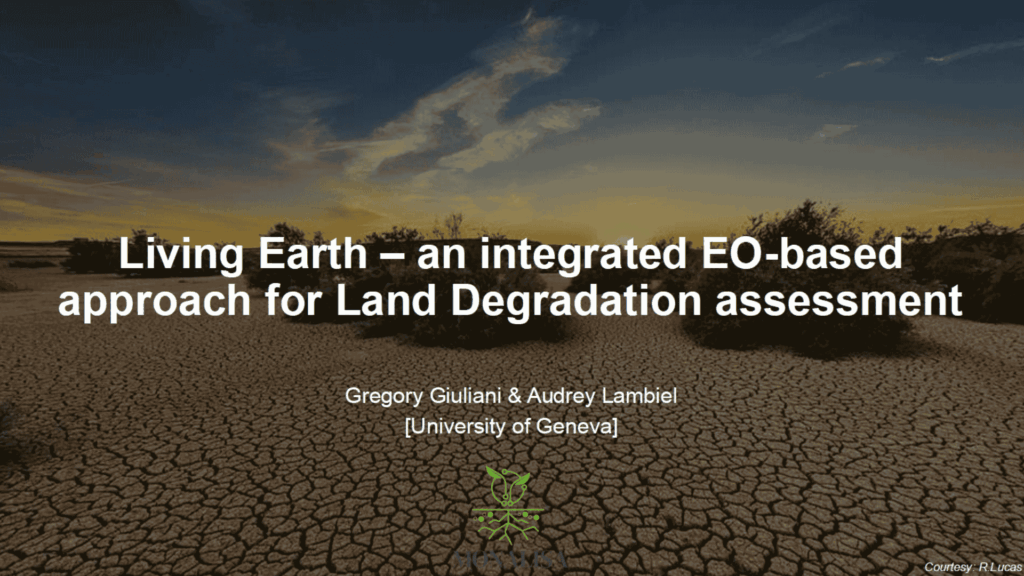
On July 1st, the MONALISA Project hosted an internal seminar titled “Living Earth – an integrated EO-based approach for Land Degradation assessment”, featuring a presentation by Dr. Gregory Giuliani from the University of Geneva (UNIGE).
The session introduced participants to the Living Earth Land Cover Classification System (LCCS) – a cutting-edge framework designed to tackle one of the most pressing challenges in land degradation research: how to classify land cover consistently and accurately across time and space.
Developed to support environmental monitoring, land management, and sustainable development goals, Living Earth integrates Earth Observation (EO) data with semantic rules to produce harmonized and interpretable land cover classifications. Its modular and flexible structure allows users to represent both ecological and human-driven features and to compare data across local, regional, and global scales.
Dr. Giuliani began with a reflection on the urgency of addressing land degradation. With over 1.5 billion hectares targeted for restoration by 2030 and more than 40% of global land already degraded, the scale of the challenge is significant. Traditional monitoring systems often struggle to provide timely, consistent, and actionable information across diverse landscapes and contexts. Living Earth was created to overcome these limitations by offering a standardized and scalable classification framework adaptable to multiple settings.
At the core of Living Earth is the use of environmental descriptors – quantifiable parameters such as vegetation type, canopy height, biomass, and water seasonality – extracted from EO data. These descriptors underpin land cover classifications fully compatible with the FAO LCCS. The system’s modular design allows it to reflect both natural and anthropogenic land uses, providing a more dynamic and meaningful picture of landscape changes than traditional static classifications.
Throughout the presentation, Dr. Giuliani demonstrated how Living Earth not only generates high-quality land cover maps but also supports evidence-based change detection. By comparing descriptors across time, the system can identify both subtle and significant changes in land use and land cover, helping distinguish between natural variability and true degradation. When combined with a DPSIR (Drivers–Pressures–State–Impact–Response) framework, it offers users a way to link observed environmental changes with their underlying causes.
The seminar also highlighted the framework’s potential applications within the MONALISA Project. Living Earth aligns well with MONALISA’s aim to assess land degradation across six Mediterranean case studies. Many of the datasets already used in MONALISA, such as ESAI, SDG 15.3.1 indicators, and soil data, can be integrated directly into the Living Earth approach. This opens up opportunities for producing consistent time series of land cover information and conducting multi-scale analyses that connect ground-level observations with broader EO data.
The presentation also introduced the Landscape Mosaic model, which complements Living Earth by assessing the spatial distribution and intensity of land use. This helps further distinguish between natural and human-induced pressures, enriching the understanding of degradation dynamics.
The seminar drew strong interest and thoughtful questions from MONALISA partners, laying the groundwork for further exploration of how Living Earth can enhance the project’s monitoring and assessment capabilities.
We thank Dr. Giuliani for his valuable contribution and all participants for their engagement. Stay tuned as we continue to explore innovative tools and methods for sustainable land restoration.
>> Watch the full seminar recording HERE

