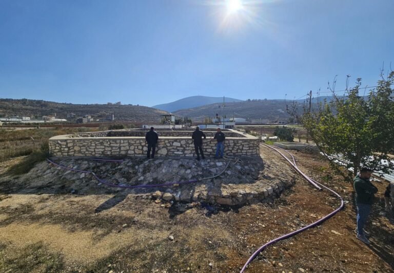
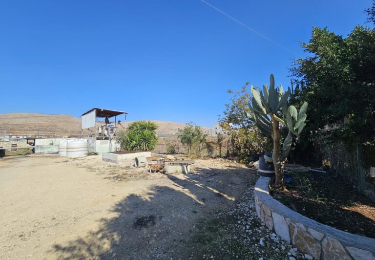
Beit Dajan, Palestine
Case Study site features
Beit Dajan is situated at an altitude of 536 m above sea level in the north-central region of the West Bank. This area is known for its Mediterranean climate and diverse agricultural landscapes.
The land use in Beit Dajan reflects a blend of traditional and productive agricultural practices. The cultivation of crops, particularly cereals such as wheat, forms a staple of the region’s farming activities, along with livestock farming, including sheep and goats. In addition, olive, citrus fruits and other fruit crops further diversify agricultural output.
Beit Dajan has a mean annual temperature of 24.9 °C, indicating warm conditions typical of the arid Mediterranean region. The area receives an average annual precipitation of 559 mm. However, with an evapotranspiration rate of 1,669 mm, the region faces a significant water deficit. This underscores the importance of efficient water management practices and sustainable agricultural techniques to maintain productivity and protect natural resources .

- Aridity index:
- Key drivers of LDD:
- Solutions:
- Type of implemented solutions:
- The participatory approach:
- Key stakeholders involved:
0.335 indicating Semi-arid climate
Aridity Index (AI) is a measure used to assess the dryness of a region by comparing the amount of precipitation (rainfall) to potential evapotranspiration (the water loss from soil and plants).
Aridity Index is calculated as the ratio of annual precipitation to potential evapotranspiration.
Lower values indicate drier conditions, with very low values representing arid or desert-like environments.
The aridity index is essential in climate studies, water management, and agriculture, as it helps classify climates and assess water availability.
In Beit Dajan the main LDD drivers are drought and climate change, as well as mismanagement and political constraints, which lead to soil fertility loss and limited water access.
LDD drivers
Land degradation and desertification drivers are factors that lead to land deterioration and loss of productivity.
LDD drivers include natural causes, drought, and human activities, such as deforestation, overgrazing, and unsustainable farming. These drivers reduce soil fertility, increase erosion, and harm vegetation, making land more prone to degradation.
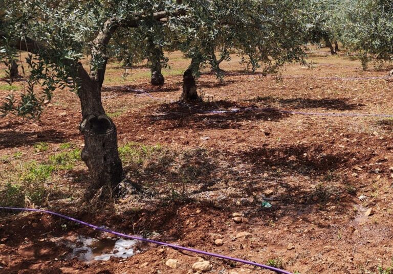
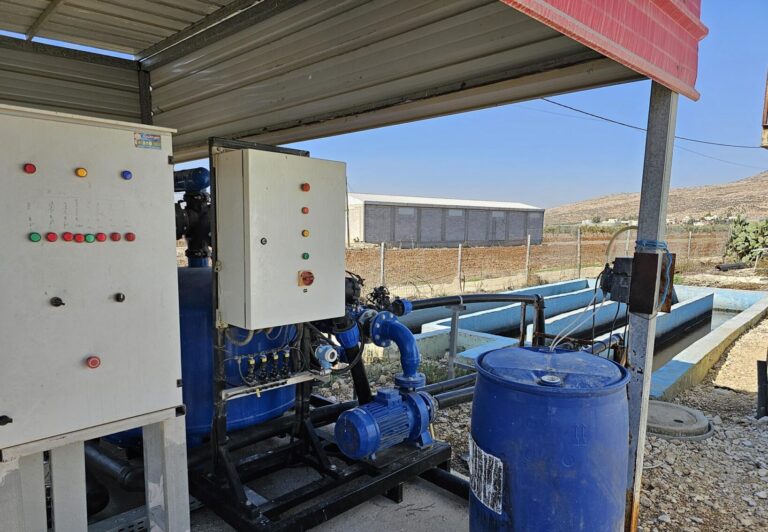
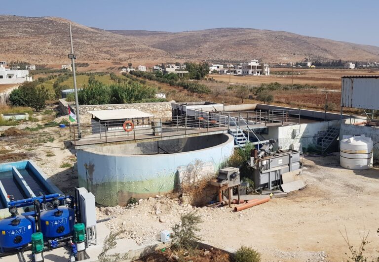
Irrigation with treated wastewater
Example: Drip irrigation using reclaimed water, Sprinkler systems with treated municipal wastewater, etc.
Precision water management
Example: Soil moisture sensors for real-time irrigation adjustments, Automated irrigation systems, GIS mapping to optimize water distribution, etc.
No-harm irrigation management for long-standing reuse
Example: Periodic monitoring of treated wastewater quality, Rotational irrigation schedules, Buffer zones around fields, etc.
High-Tech Solutions
High-tech solutions use advanced technologies, such as sensors and AI, to tackle environmental issues. In land management, they may include precision irrigation and remote sensing, offering high accuracy and real-time data for decision-making.
Co-Design (CoD)
Co-design involves stakeholders working together to plan and create solutions, ensuring that local needs, knowledge, and values shape the outcome. This fosters community ownership and relevance of the solution.
Co-Implementation (CoI)
Co-implementation is the shared execution of a plan by stakeholders, with each actively participating in putting the solution into action. This approach builds capacity and strengthens commitment to the project’s success.
Co-Assessment (CoA)
Co-assessment is the joint evaluation of project outcomes by stakeholders to measure effectiveness and identify improvements. It encourages adaptive management and maintains accountability and transparency.
Farmers
Water User Association
Village Council
Ministry of Agriculture
