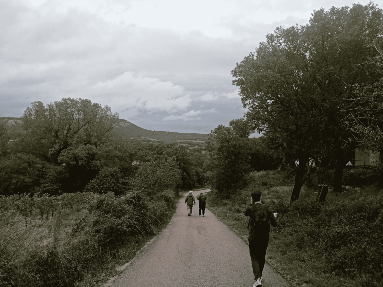
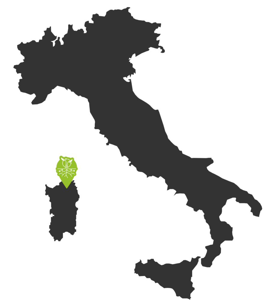
Berchidda-Monti, Italy
Case Study site features
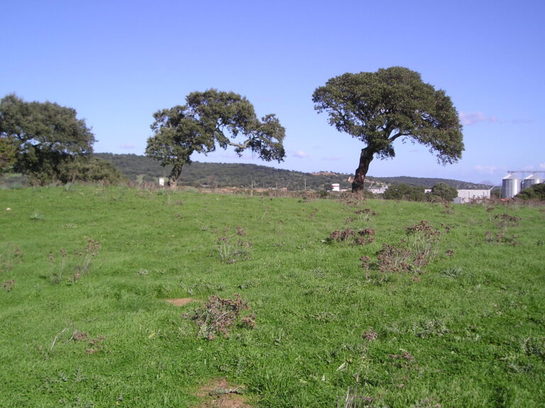
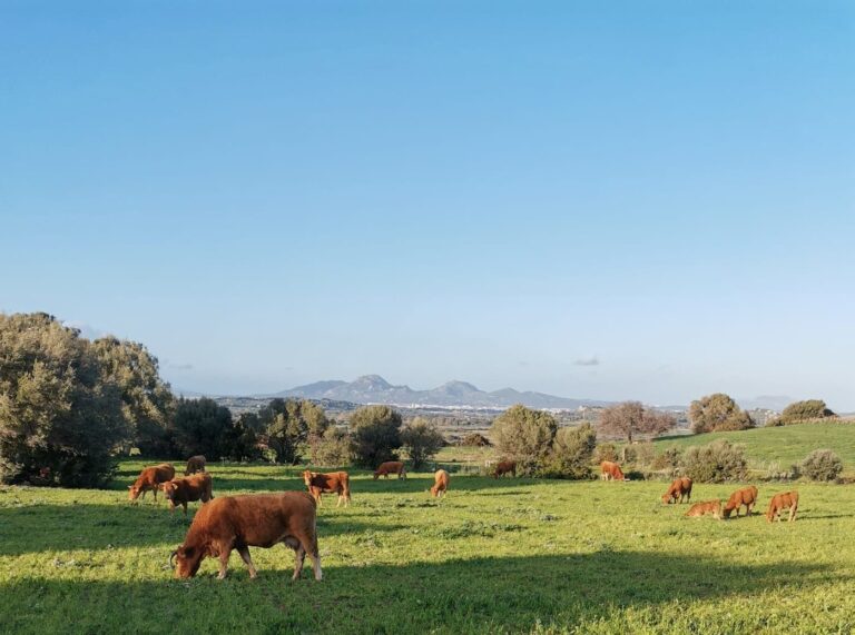
Berchidda-Monti is located in the northeastern region of Sardinia, Italy, with elevations ranging from 259 to 350 meters above sea level. The area has the characteristic Mediterranean landscape.
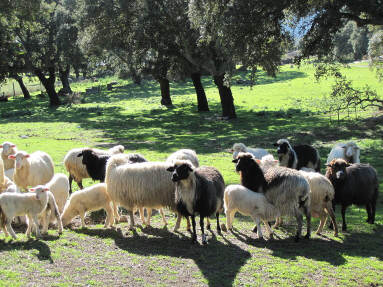
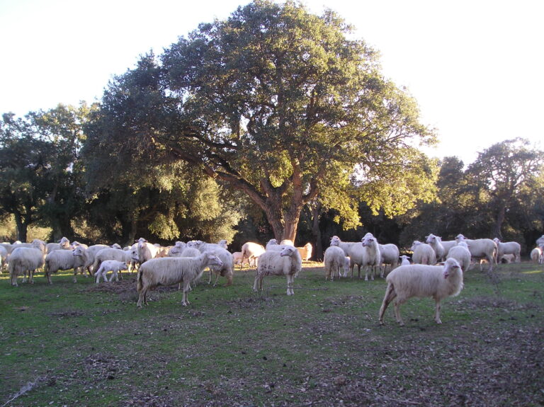
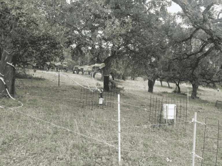
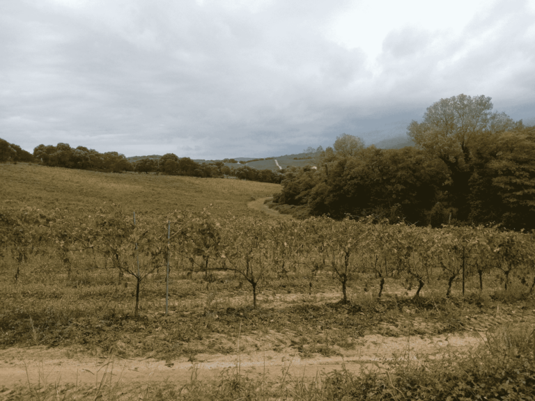
The land use in Berchidda-Monti is diverse and rooted in sustainable practices. Rainfed crops form a significant portion of agricultural activities, alongside livestock farming. The region is known for agro-silvopastoral systems, with cork oak-based systems playing a prominent role and vineyards. These systems combine grazing with tree cultivation, contributing to biodiversity and sustainable land management.
The climate is typically Mediterranean, with a mean annual temperature of 14.2 °C. The average annual precipitation is 632 mm, providing moderate water resources. An evapotranspiration rate of 1,050 mm highlights the importance of efficient water management strategies to sustain agricultural productivity and preserve natural ecosystems.
Partners leading the Case Study Site: UNISS & ARBOREA – Societa Agricola
- Aridity index:
- Key drivers of LDD:
- Solutions:
- Type of implemented solutions:
- The participatory approach:
- Key stakeholders involved:
0.53 indicating Dry Sub-Humid Climate
Aridity Index (AI) is a measure used to assess the dryness of a region by comparing the amount of precipitation (rainfall) to potential evapotranspiration (the water loss from soil and plants).
Aridity Index is calculated as the ratio of annual precipitation to potential evapotranspiration.
Lower values indicate drier conditions, with very low values representing arid or desert-like environments.
The aridity index is essential in climate studies, water management, and agriculture, as it helps classify climates and assess water availability.
In Berchidda-Monti there is a significant trend of oak decline due to lack of tree regeneration in the silvopastoral landscape, both land use intensification and land abandonment (increasing the wildfire risks) trends, low grassland productivity and quality in wood grasslands, and the impacts of drought and climate change.
LDD drivers
Land degradation and desertification drivers are factors that lead to land deterioration and loss of productivity.
LDD drivers include natural causes, drought, and human activities, such as deforestation, overgrazing, and unsustainable farming. These drivers reduce soil fertility, increase erosion, and harm vegetation, making land more prone to degradation.
Innovative grazing management
Example: Rotational grazing, Virtual fencing using GPS collars, Adaptive multi-paddock grazing.
Legume enrichment of grasslands
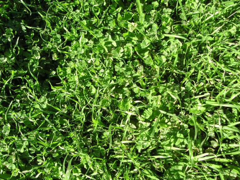
Example: Planting clover to improve soil nitrogen, Introducing alfalfa, etc.
The use of microbial-based solutions
Example: Applying nitrogen-fixing bacteria or biopesticides, etc.
The use of organic fertilizers and amendments
Example: Applying compost
Nature-Based Solutions
(NBS)
Nature-based solutions use natural processes and ecosystems to address challenges like climate change and land degradation.
Examples include reforestation and cover cropping, which improve environmental resilience and provide benefits like water filtration and habitat preservation
Co-Design (CoD)
Co-design involves stakeholders working together to plan and create solutions, ensuring that local needs, knowledge, and values shape the outcome. This fosters community ownership and relevance of the solution.
Co-Implementation (CoI)
Co-implementation is the shared execution of a plan by stakeholders, with each actively participating in putting the solution into action. This approach builds capacity and strengthens commitment to the project’s success.
Livestock Farmers
Farmers’ Cooperatives
Farmers’ Unions
Agricultural Input Suppliers
Regional Agricultural Extension Service (LAORE)
Forestry Agency (FORESTAS)
Regional Ministers for Agriculture and the Environment.
